|
. |
The
goal of this website and continental map is to instill understanding
and inspiration.
Basically
though, it's a hobby. The primary focus is historical rather
than political. This is not some kind of study. Rather, it's
just bringing into focus what has always been there.
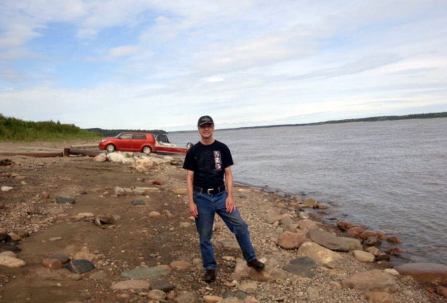 Bryan
Strome on the Mackenzie River in 2016.
Bachelor
of Arts - Geography 1984.
Bryan
Strome on the Mackenzie River in 2016.
Bachelor
of Arts - Geography 1984.
 Simon
Fraser University, Vancouver, B.C
But
I'm from Kamloops, British Columbia, Canada
Email
Bryan at: bstrome@searchenginecolossus.com
I've
been at this since 2005, and after working on it for 16 years,
it is finally beginning to stablize. On a point of pride, know
that I'm not inefficient, it's just that the project is extremely
complicated.
Simon
Fraser University, Vancouver, B.C
But
I'm from Kamloops, British Columbia, Canada
Email
Bryan at: bstrome@searchenginecolossus.com
I've
been at this since 2005, and after working on it for 16 years,
it is finally beginning to stablize. On a point of pride, know
that I'm not inefficient, it's just that the project is extremely
complicated.
 ...I doubt I'll ever fully figure this
map out.
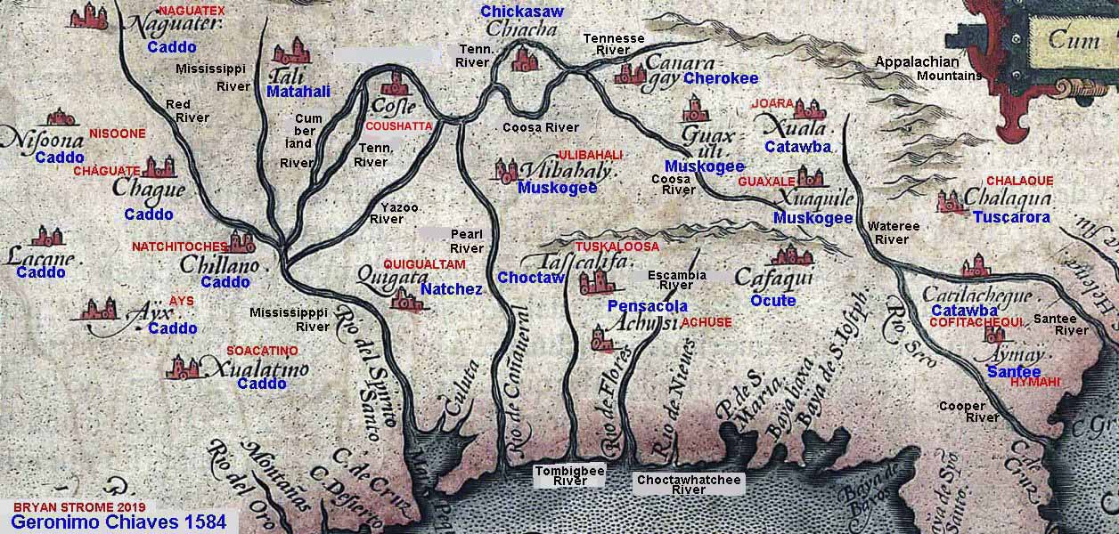
Here's
a Chickasaw fun map! ...I doubt I'll ever fully figure this
map out.
Here's
a Chickasaw fun map! One
key aspect of the project is that I drive to reserves all over
western Canada and the North and present First Nations with copies
of the map. While visiting, I have interesting talks, and gain
information to improve the quality of the website and map.
One
key aspect of the project is that I drive to reserves all over
western Canada and the North and present First Nations with copies
of the map. While visiting, I have interesting talks, and gain
information to improve the quality of the website and map.
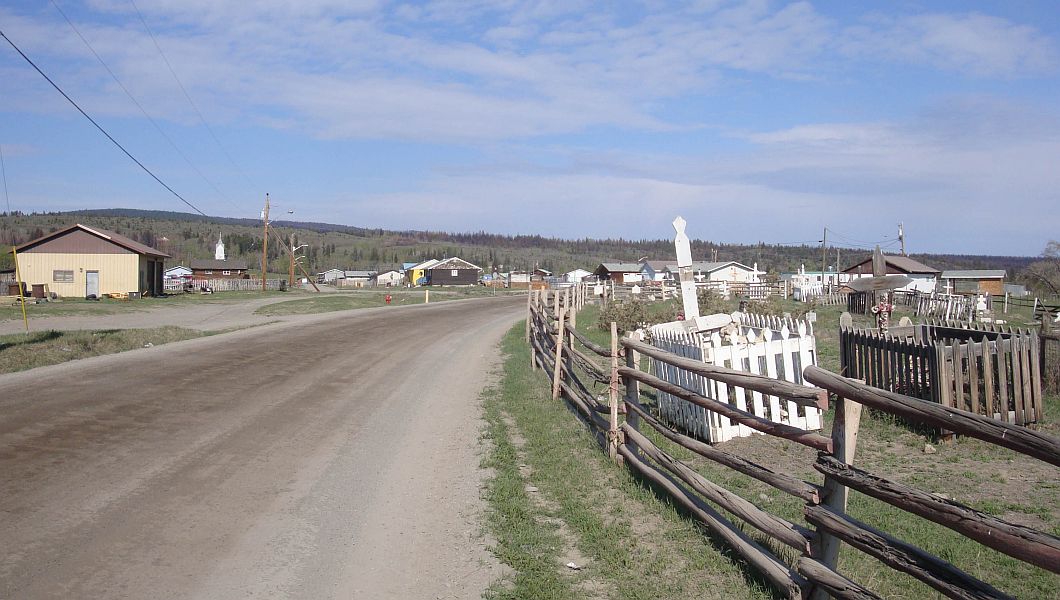
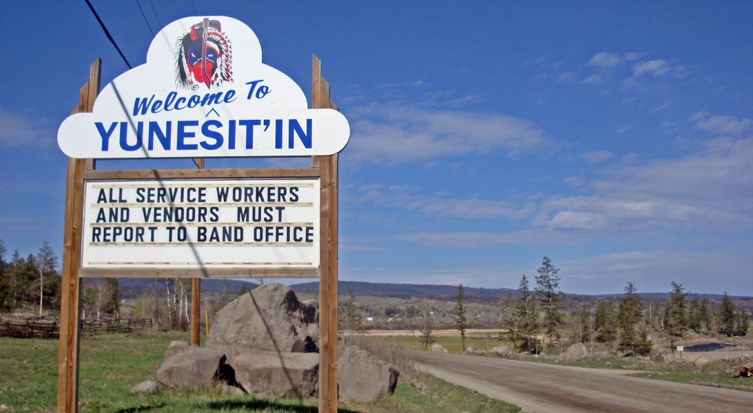 In
2018, I went to Tsilhqot'in
Nation.
In
2018, I went to Tsilhqot'in
Nation.
 Note:
In 2020 and 2021, I went absolutely nowhere due to COVID concerns...
Two
critical resources that made this project possible:
Note:
In 2020 and 2021, I went absolutely nowhere due to COVID concerns...
Two
critical resources that made this project possible:
#1. Patricia
Robert Clark's "Tribal Names of the Americas" published
in 2009. In this amazing undertaking, she has, uniquely and systematically,
interpreted tribal names from the well known to the obscure!
The old maps featured on this website would be far less interesting
and informative without her efforts!!!
#2. Ethnologue I salute the hard word of the Linguists! This
resource is very up-to-date. Linguistics is the basis of First
Nations Seeker. Sadly, this website has moved into a pay to view
model and is no longer so accessible.
Pertaining
to Google: If you type in the keywords "first seeker",
First Nations Seeker shows up in 6th position on the first page
of results. If you type in the keywords "nations seeker",
First Nations Seeker shows up in 1st position on the first page
of results. However, If you type in the keywords "first
nations" (which is what everyone uses), First Nations Seeker
doesn't show up on any page of the 22 pages of results! [I tried
to rectify this situation by hiring a professional web page developer
who recreated my homepage using the latest modern software. This
effort was a complete, expensive failure.]
Review of previous First Nations Across
North America maps
Flag Credits
Bill
> 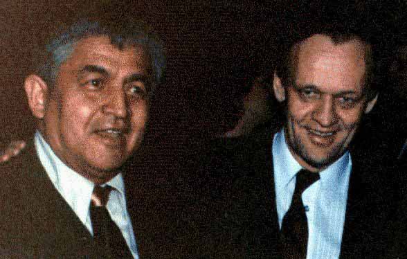 < That's Jean Chrétien
In
memory of my Tsimshian friend, and early supporter, Bill Jefferies.
He encouraged me to keep at it! What would he think of the Turtle
Island map now? < That's Jean Chrétien
In
memory of my Tsimshian friend, and early supporter, Bill Jefferies.
He encouraged me to keep at it! What would he think of the Turtle
Island map now? |
|